Data-driven analysis to support planning, evaluation, and defensible decision-making. We leverage graduate-level GIS training to deliver advanced terrain modeling and site context analysis.
Planning and access analysis grounded in over 3,400 hours of trail stewardship. We specialize in sustainable trail design and inclusive accessibility mapping for public and private land managers.
Specialized GIS support for residential development, mixed-use projects, and legislative efforts. From NEPA compliance to stakeholder communication, we help navigate the "Legislative Layer" of the map.
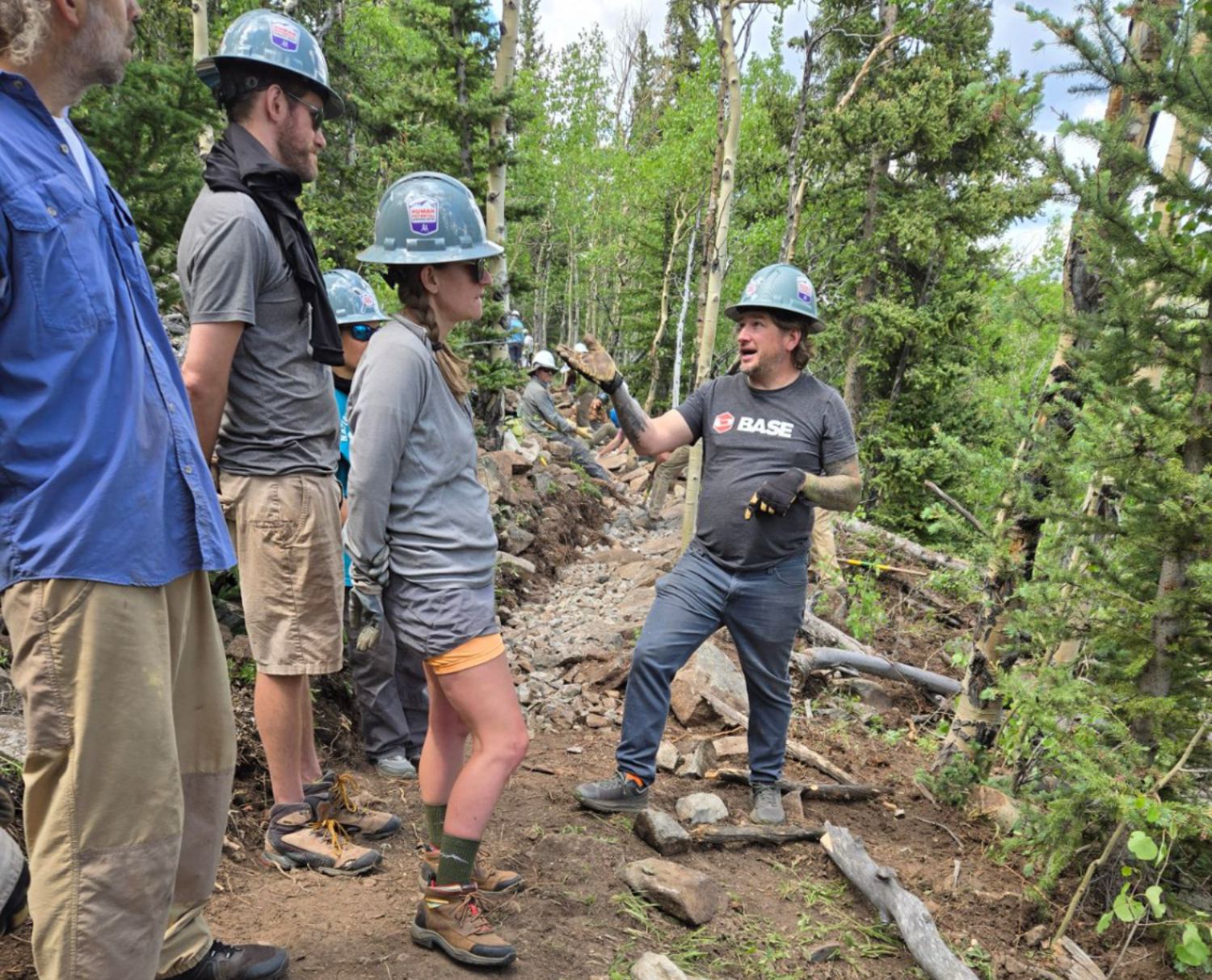
Most GIS analysis ends at the screen. Mine begins on the land. My work is informed by 20+ years in outdoor education and managing one of the largest trail-running series in the nation. I understand how a data point on a map translates to a physical barrier, a legislative risk, or a community opportunity.
Every project starts with understanding the land, the data, and the people involved. We start by learning the constraints, goals, and local realities before drawing conclusions.
We use GIS and cartography to clarify options, reveal tradeoffs, and support sound decision-making.
Final products are designed to be understandable, defensible, and ready to implement.
Municipal & Industry Leadership
Providing spatial insights for local government planning and outdoor industry associations.
Expertise: Informed by active service on the Coalition for Outdoor Access (COA) policy committee and municipal and regional advisory committees.
Conservation & Advocacy (NGOs)
Data-driven analysis to balance recreation access with wildlife habitat conservation.
Expertise: Contributing to regional partnership initiatives like Outside 285 and the Fix CRUS executive committee.
Housing & Land Developers
Advanced mapping for site constraints, mixed-use development, and land-use authorizations.
Expertise: Specialized support for major community developers, navigating NEPA compliance and multi-jurisdictional requirements across the Front Range.
Cartography for Trail Networks and Athletic Events
Specialized course mapping and logistical spatial planning for trail systems and high-consequence events.
Expertise: Backed by the operational rigor of managing the Human Potential Running Series, one of the nation’s largest trail and ultra-marathon series.

"I am driven by the challenge of finding the 'middle ground' where recreation, conservation, and development coexist. My work is built on an intimate understanding of the layers that define our land, from federal regulatory hurdles to the visual flow of a trail network. I don't just provide data; I provide the spatial strategy and storytelling required to navigate complex landscapes and ensure your project is understood, defended, and realized." - John Lacroix, Crawford Pathworks LLC
Professional Roots: While our current focus is GIS and Land Strategy, our founder's background in high-stakes operational leadership includes professional team-building and consulting for organizations such as the National Center for Atmospheric Research (NCAR), Professional and Collegiate Athletes and Teams, and various Fortune 100 and 500 companies.